

WESTWOOD
Westwood in Summary
Westwood sits on the western edge of Los Angeles, built around the University of California, Los Angeles and its historic village center. The neighborhood pairs high-rise condominium living along the Wilshire Corridor with the quieter, tree-lined streets of Little Holmby and Westwood Hills, giving buyers a wide range of home styles inside one walkable community.
Residents are drawn to Westwood for its central Westside location, with Beverly Hills, Century City, Brentwood, and the 405 Freeway all just minutes away. Its closeness to UCLA, well regarded local schools, and the shops and restaurants of Westwood Village make it a lasting favorite for professionals, families, and anyone who wants easy access to the rest of Los Angeles. As a Los Angeles Realtor, Parnian Noroozi helps buyers and sellers find their place throughout Westwood and the surrounding Westside neighborhoods.
Where Westwood Sits
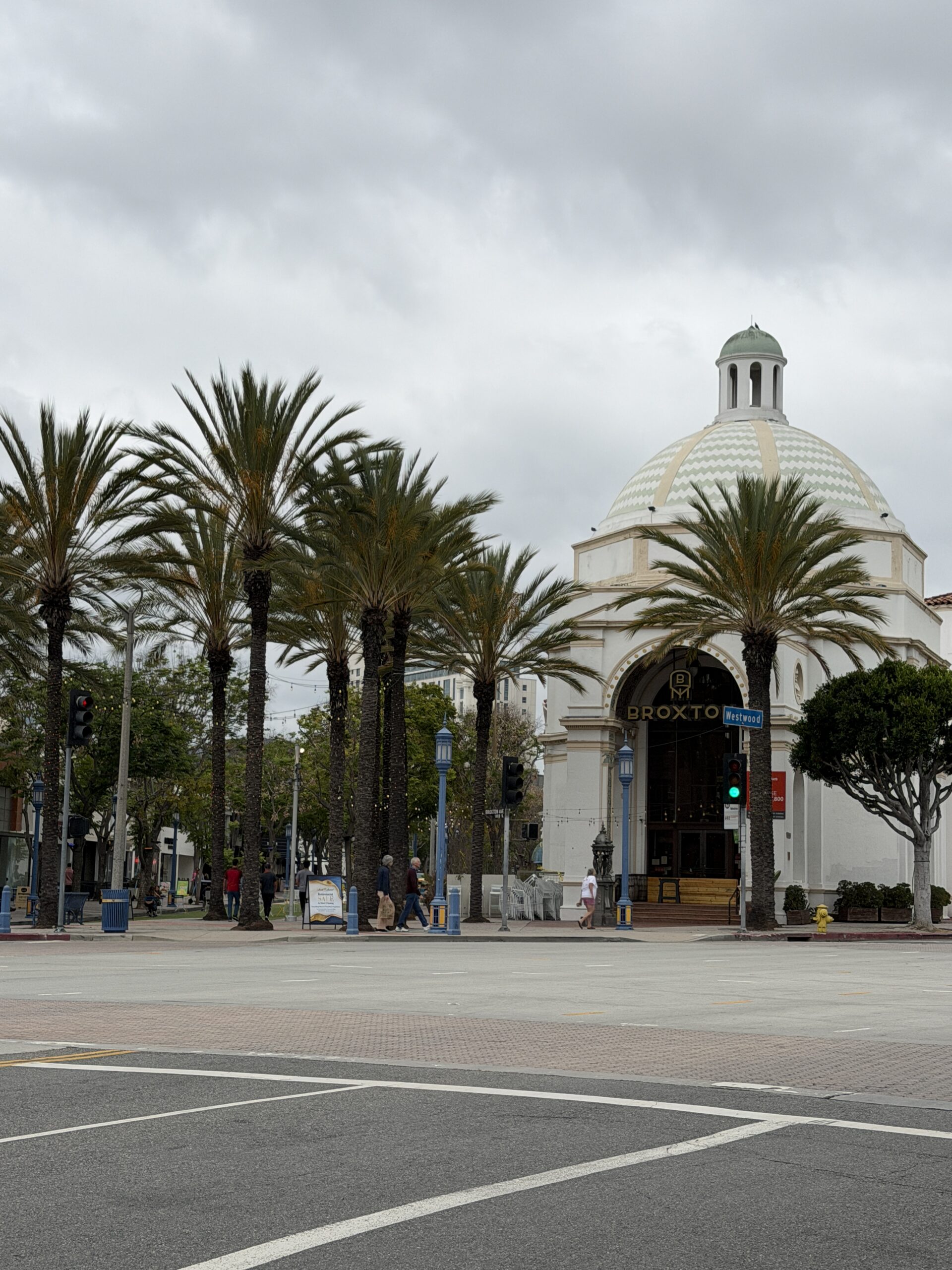
Just west of Beverly Hills and south of Bel-Air, Westwood holds one of the most established addresses on Los Angeles's Westside. Laid out in the 1920s across the old Wolfskill Ranch, the neighborhood grew up alongside UCLA, and its Mediterranean-inspired village core has anchored the area for nearly a century.
Today Westwood spans everything from the high-rise residences along the Wilshire Corridor to the quiet, tree-canopied streets of Little Holmby and Westwood Hills. Buyers are drawn by the schools, the walk to Westwood Village, and quick access to Beverly Hills, Century City, and the 405.
Westwood, By the Numbers
A brief statistical portrait of the neighborhood — population, age, income and education — drawn from U.S. Census Bureau data.
Population by Age
Education Level (25+)
Find Your Bearings
Westwood sits at the meeting point of UCLA, Westwood Village and the Wilshire Corridor — a short drive from Beverly Hills, Bel‑Air, Century City and Brentwood, with the 405 running along its western edge.
The Surrounding Enclaves
Westwood's location on the Westside puts these neighboring enclaves within easy reach.
Beverly Hills
Rodeo Drive glamour, just east across the city line.
Century City
High-rise towers and Westfield, a short drive south.
Brentwood
Canyon-adjacent calm, just across the 405.
Santa Monica
Ocean air and the Third Street Promenade, minutes away.
West Hollywood
Sunset Strip energy, just over the border to the northeast.
Culver City
Arts district charm and studio backlots to the southeast.